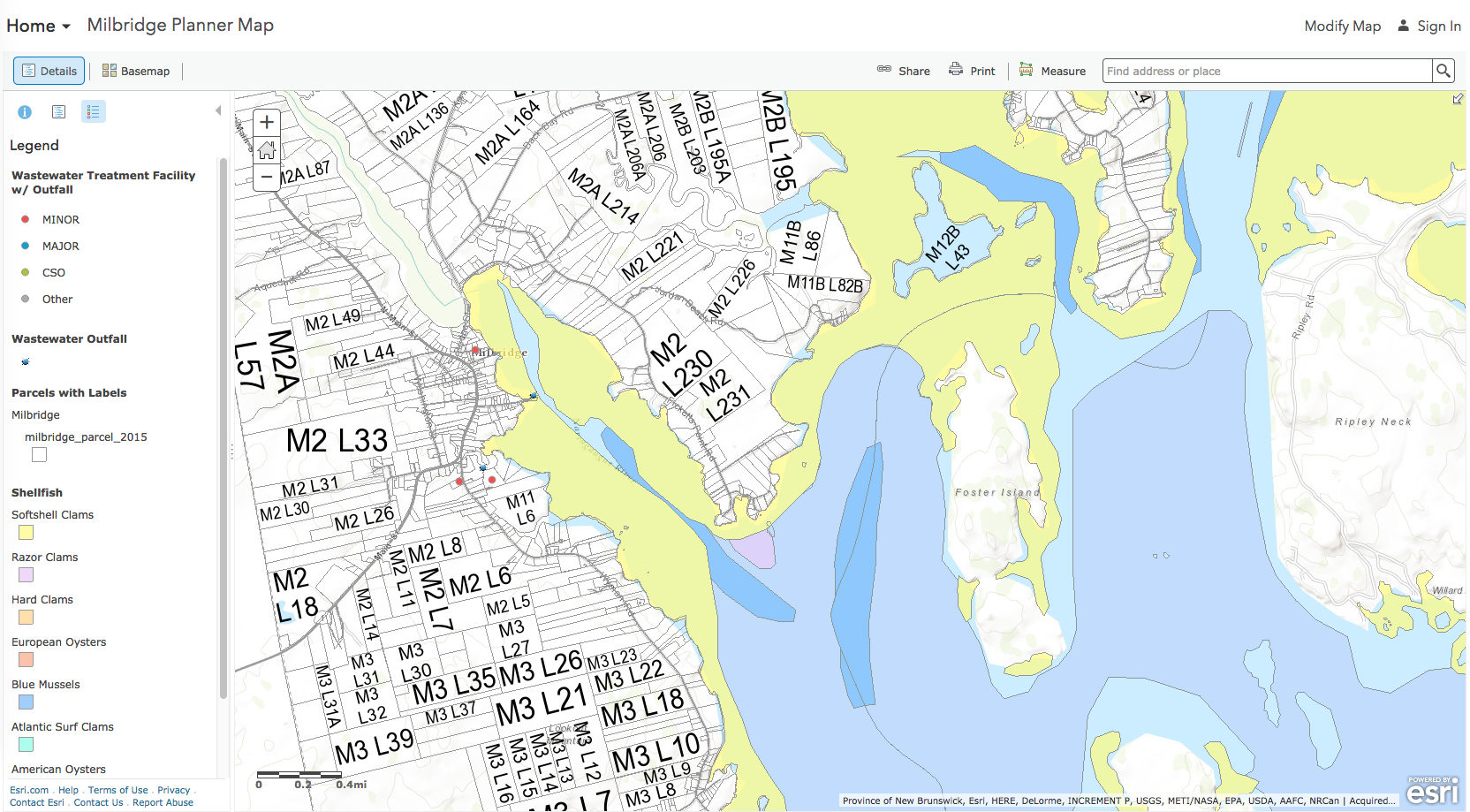
A long-standing collaboration between the Washington County Council of Governments (WCCOG) and the University of Maine GIS Service Center (UMM-GIS) results in a nearly limitless collection of online GIS map resources. One important function of this collaboration is the detailed online mapping of shellfish resources throughout Washington County. These maps help harvesters locate resources, and help municipalities plan development around preservation of resources. An example of how these maps are used is shown here, in this map of Milbridge shellfish resources and nearby wastewater treatment outfalls.
To access the Planner maps and learn how to use them in your industry, click here.