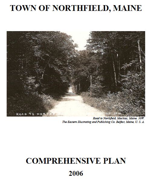
Northfield Comprehensive Plan
The Northfield Comprehensive Plan was completed in 2005-8.
It was found Consistent with the Growth Management Act on January 14, 2008 and adopted locally on September 14, 2008.
Links to the individual chapters and maps that comprise the Northfield Comprehensive Plan are provided below.
Individual Chapters
Section I Introduction
Section II Community History and Character
Section III Town Government
Section IV Inventory and Analysis
A. Population
B. Economy
C. Water, Topography, and Soil Resources
D. Critical Natural Resources
E. Agriculture and Forestry
F. Historic and Archeological Resources
G. Land Use
H. Housing
I. Transportation
J. Recreation
K. Public Facilities
L. Fiscal Capacity
Section V Policies and Implementation
Section VI Regional Coordination Plan
Section VII Capital Investment Plan
Section VIII Future Land Use Plan
Maps
Map 1 – Location
Map 2 – Water Resources
Map 3 – Topography, Steep Slopes and Floodplains
Map 4 – Critical Habitat
Map 5 – Public Facilities and Transportation
Map 6 – Soils Suitability for Development
Map 7 – Land Cover
Map 8 – Future Land Use
Appendices
Survey Summary
Appendix A – Water Quality Information
Appendix B – State Planning Office letter of consistency with Growth Management Act
 Menu
Menu